Satellite Imagery for Farming: Eyes in the Sky for Smarter Agriculture
🌍 Why Satellite Imagery Matters in Agriculture
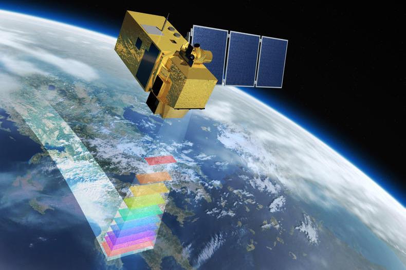
Modern farming is no longer just about soil and sweat—it’s about data and precision. Satellite imagery provides farmers with a bird’s-eye view of their fields, offering insights into crop health, soil conditions, and environmental changes. By harnessing this technology, agriculture becomes more efficient, sustainable, and resilient against climate challenges.
🛰️ How Satellite Imagery Works for Farming
- Crop monitoring: Satellites capture images that reveal plant health through vegetation indices like NDVI (Normalized Difference Vegetation Index).
- Soil moisture tracking: Remote sensing helps farmers understand water availability and plan irrigation.
- Pest and disease detection: Early signs of stress in crops can be identified before they spread.
- Yield forecasting: Data-driven models predict harvest outcomes, aiding logistics and market planning.
- Climate monitoring: Satellites track weather patterns, droughts, and floods, helping farmers adapt.
🚀 Benefits for Farmers
- Precision agriculture: Apply water, fertilizer, and pesticides only where needed, reducing costs and environmental impact.
- Risk management: Early warnings about droughts or crop stress allow proactive action.
- Sustainability: Smarter resource use reduces waste and protects ecosystems.
- Market advantage: Accurate yield forecasts improve supply chain planning and profitability.
- Accessibility: Satellite data is increasingly available through mobile apps and affordable platforms.
🌍 Global Applications
- India: Farmers use satellite-based apps to monitor soil health and optimize irrigation.
- United States: Agribusinesses integrate satellite data with AI to manage large-scale farms.
- Africa: Satellite imagery supports smallholder farmers by providing weather forecasts and crop health insights.
- Europe: Governments use satellite monitoring to enforce sustainable farming policies.
⚖️ Challenges Ahead
- Data accessibility: Smallholder farmers may lack access to advanced tools.
- Cost barriers: High-resolution imagery can be expensive.
- Training needs: Farmers must learn to interpret satellite data effectively.
- Connectivity issues: Rural areas may struggle with internet access for real-time updates.
🌟 The Future Vision
Satellite imagery is transforming agriculture into a knowledge-driven industry. Imagine farms where every decision—from planting to harvesting—is guided by real-time data from space. With satellites as partners, farmers can boost yields, reduce risks, and contribute to a more sustainable food system.

DONATE & HELP FEED THE WORLD- PRESS THE LINK BELOW AND DONATE- https://www.paypal.com/donate/?hosted_button_id=XBTLE4H5G322N
Your support helps AgriHelpAfrica share sustainable farming practices with the world, one post at a time. Together, we can cultivate resilience, empower farmers, and grow a future where agriculture thrives and feed’s the world .

Leave a reply to Satellite Imagery for Farming: Eyes in the Sky for Smarter … – ΑΙ – Viticulture and Oenology Cancel reply